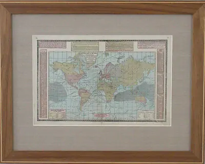
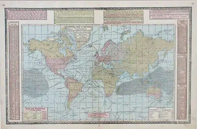

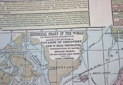
Historical Chart of the World on Mercator's Projection
H. C. Tunison, Chicago
The Work
This is a hand-coloured lithographed world map by H. C. Tunison of Chicago, published as part of a commercial American atlas in the late nineteenth century. Rendered on Mercator's projection, it charts the routes and dates of the great voyages of discovery — Columbus, Magellan, Cabot, Cook, and others — alongside isotherms (lines of equal temperature), a key to world religious and racial distribution as understood at the time, and ocean depth soundings. Surrounding panels add further period detail: a record of history's great battles since 799 AD, and rankings of the world's longest rivers, largest lakes, highest mountains, and most populous cities. It's a genuinely rich, decorative snapshot of how the world was understood — and how that understanding was packaged for the American household — at the close of the nineteenth century.
- Year
- c. 1883–1896
- Medium
- Hand-coloured lithograph on paper
- Image size
- 520 mm x 335 mm
- Framed size
- 780 mm x 615 mm
- Catalogue
- 0051
Provenance
Purchased online, either through eBay or a similar online auction house such as Lloyds — I can't recall exactly which.
Ask about the price, make an offer, or simply ask a question — payment is arranged directly (bank transfer, PayID, or cash).